by Fredric L. Rice
Thursday, Aug. 24, 2006 at 9:42 AM
frice@skeptictank.org
Trail Building in the San Gabriel Mountains.
aug000.jpg, image/jpeg, 640x480
Lost Ridge Trail Almost Completed
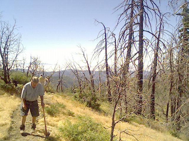
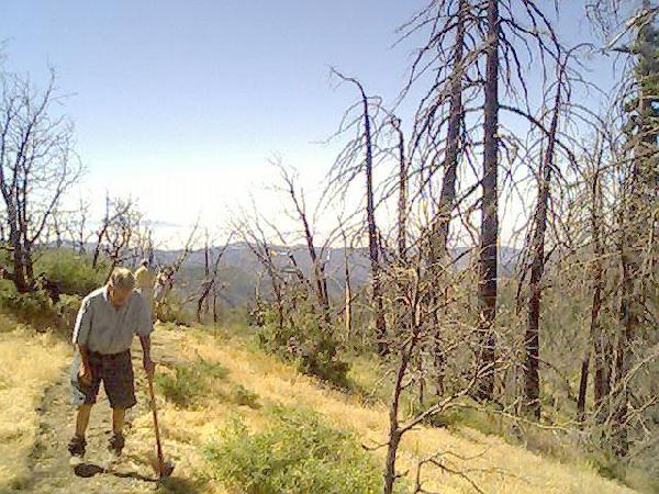
On 19/August/2006, the San Gabriel Mountains Trailbuilders returned to the Crystal Lake Recreation area to finish the trail work needed to complete the Lost Ridge Trail, a fairly easy hike where one end of the trail is at Deer Flats and the other meets Lake Road.
Hiking trails are established in these recreation areas in an attempt to concentrate foot traffic (and thus erosion and pollution) along official routes through the mountains while providing some measure of safety for hikers and campers. While the Crystal Lake Recreation area is currently closed and has been since 2002, the area is being worked on by professional, commercial companies and by volunteers such as the San Gabriel Mountains Trailbuilders.
As you might imagine, this is hot, sweaty work consisting of hand tools that are carried in on the backs of volunteers. This particular day saw basically two different directions of work taken: tread work widening and reshaping existing trail sections and the rock stepping platforms that were created.
Tread work required the use of basically a pickaxe that has a hoe-like blade on the other end, and the use of a McCloud which has fork tines on one side and a hoe on the other. Rock stepping platform work required the use of heavy metal bars, sledge hammers, shovels, picks, buckets, and a great deal of muscle and sweat (and, to be sure, a significant amount of polite cussing.)
The group collected down in Azusa, California where each team member signed the appropriate forms before the crews headed up in cars to the Rincon Fire Station (North 34 degrees, 14.323 by West 117 degrees, 51.753.) There we collected some additional tools we would need for the day’s effort.
From there we headed up to the Crystal Lake Recreation area, checking through the locked barricade gate at mile marker 29.65 before completing the additional 11 or 12 miles or so to the Crystal Lake gate. Work began around 9:00 a.m. about in the middle of the trail (approximately North 34 degrees, 19.457 by West 117 degrees, 50.115) and lasted until around 3:00 p.m.
A great deal of effort was expended on establishing four rock steps along a fairly steep section of the trail. That work involved moving and positioning large rocks so that the steps would survive (hopefully survive) heavy rains as well as heavy foot traffic.
As you can see from the photographs, the area has been slaughtered by fires (the Williams Fire and the Curve Fire did a lot of damage.) Additionally there’s been countless trees killed by bark beetle infestations. The area is making a slow comeback, however, and by the time the area is opened up, things will look a bit better than they currently do.
After the work ended, it was decided that we’d probably need another day to actually finish everything. Down below after the end of the work we were treated to cold soft drinks and some rest.
My son and I bicycled back down the mountain later that evening after everyone else had gone back down in their vehicles. I had intended to stay two nights up there however the caretaker up there had forgotten I was coming and wasn’t up there. Lacking my tent and blanket, we decided not to stay and headed down.
The next morning I got a photograph of Led Zeppelin, the family cat taking it easy in a tree.
This report is dedicated to Jeffrey Lures.